


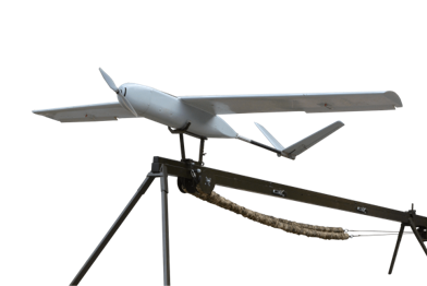
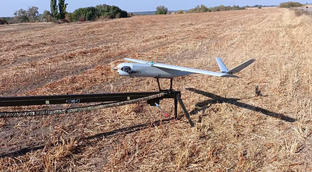
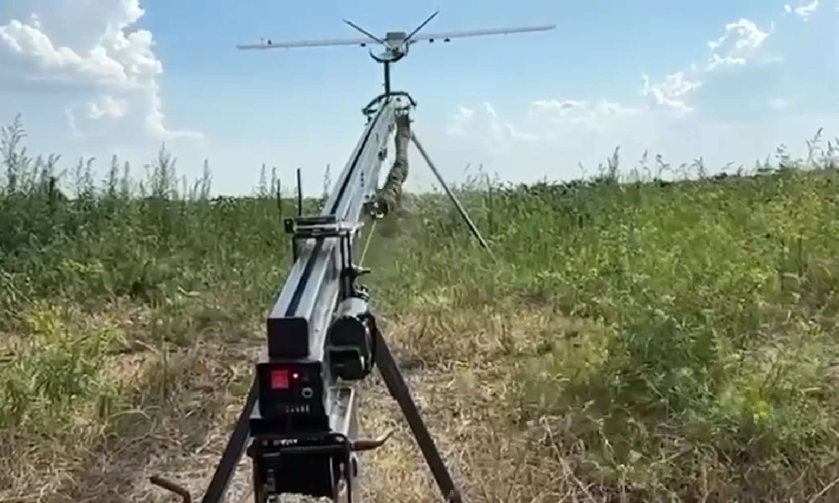
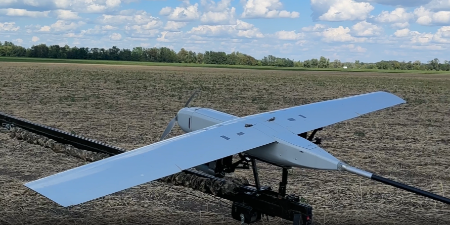
Aerial reconnaissance
Operational surveillance of enemy forces, detection of fortifications and equipment.

Firepower adjustment
Determining target coordinates and adjusting artillery, mortars or multiple launch rocket systems.
Destruction of objects
Use as a strike platform for high-precision strikes on enemy positions.

Logistic support
Delivery of cargo, equipment or medicine to the rear or to the front line.

Electronic warfare
The ability to install special equipment for jamming or targets simulation.

Counterbattery
Detection of enemy artillery and its immediate destruction.

Monitoring in agriculture
Analysis of the condition of crops, survey of large areas, monitoring of soil moisture.

Forestry and water management
Monitoring the condition of forests, detecting illegal logging or fish accumulations.

Logistics and delivery
Transportation of goods, including the delivery of medicines or other necessary goods to remote areas.
Environmental monitoring
Measurement of air, soil or water pollution level in the industrial areas.

Rescue operations
Assistance in the rapid identification of people in difficult terrain or disaster zones.

Cartography and geodesy
Topographic shooting: creation of high-precision maps of the terrain. 3D modeling: reconstruction of relief and infrastructure facilities.


Aerial reconnaissance
Operational surveillance of enemy forces, detection of fortifications and equipment.
Firepower adjustment
Determining target coordinates and adjusting artillery, mortars or multiple launch rocket systems.
Destruction of objects
Use as a strike platform for high-precision strikes on enemy positions.
Logistic support
Delivery of cargo, equipment or medicine to the rear or to the front line.
Electronic warfare
The ability to install special equipment for jamming or targets simulation.
Counterbattery
Detection of enemy artillery and its immediate destruction.
Monitoring in agriculture
Analysis of the condition of crops, survey of large areas, monitoring of soil moisture.
Forestry and water management
Monitoring the condition of forests, detecting illegal logging or fish accumulations.
Logistics and delivery
Transportation of goods, including the delivery of medicines or other necessary goods to remote areas.
Environmental monitoring
Measurement of air, soil or water pollution level in the industrial areas.
Rescue operations
Assistance in the rapid identification of people in difficult terrain or disaster zones.
Cartography and geodesy
Topographic shooting: creation of high-precision maps of the terrain. 3D modeling: reconstruction of relief and infrastructure facilities.